
Watchic Pond
Standish, Cumberland, Maine
MIDAS 5040
| Area (acres): | 443 |
| Perimeter (miles): | 5.5 |
| Mean Depth (feet): | 18 |
| Max Depth (feet): | 41 |
| Delorme Page: | 4 |
| Fishery Type: | Warmwater |
| Invasive Aquatic Plant Infestation: | None known |
Other Lake & Watershed Information
Boating & Fishing Regulations for this and other Maine waters are available here.
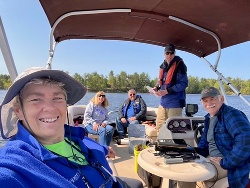
Watchic Pond Recertification Session on 2023-05-19. Photo courtesy of LSM Volunteer Cathy Watson
Photo: Watchic Recert 5-19-23 CWatson


Click the image below for a large watershed map
