
Coffin Pond
Brunswick, Cumberland, Maine
MIDAS 0541
| Area (acres): | 4 |
| Perimeter (miles): | 0.5 |
| Mean Depth (feet): | 5 |
| Max Depth (feet): | 13 |
| Delorme Page: | 6 |
| Fishery Type: | No fishery |
| Invasive Aquatic Plant Infestation: | None known |
Other Lake & Watershed Information
Boating & Fishing Regulations for this and other Maine waters are available here.
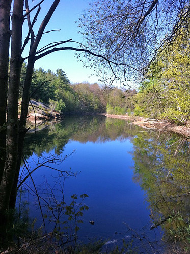
Photo: Coffin Pond - www.amazingfishametric.com
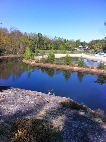
Photo: Coffin Pond - www.amazingfishametric.com


![]() Boat launches
Boat launches
![]() Hills and mountains
Hills and mountains
![]() Nearby lakes
Nearby lakes
NEARBY LAKES
Distance is measured from lake centroid to lake centroid
- Coffin Pond 2.04 miles northwest
- Merrymeeting Club Pond 2.04 miles northeast
- Thompson Pond 3.76 miles northeast
- Lily Pond 5.99 miles east
- Florida Lake 5.99 miles west
- Houghton Pond 6.11 miles southeast
- Bradley Pond 6.23 miles north
- Campbell Pond 6.49 miles east
- Birchwood Pond 6.95 miles southeast
- Winnegance Pond 7.77 miles east
Lake Water Quality Reports
Summaries for most often used measurements to describe the water quality of Coffin Pond.
Coffin Pond
Terms of Use: click here »