
Image Credit: Joe Braun Photography (used with permission)
Featured Lake
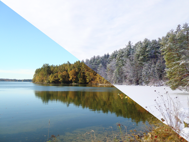
Eagle Lake (Hancock County)
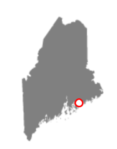
Of the 9 Great Ponds located wholly within Acadia National Park (ANP), Eagle Lake is the largest - 466 acres, with a maximum depth of 110 feet. (Long Pond, which borders ANP, is the largest lake on Mount Desert Island, and is approximately twice the size of Eagle Lake in terms of surface area.) One of the most visited carriage roads in ANP circles Eagle Lake.
Secchi data are available from the early 1980s, annual averages ranging from 8.7m to 12.8m (28-42 ft). A summary of water quality parameters is here. Eagle Lake is the water supply for Bar Harbor.


What's New?
Check out Maine Audubon’s Loon Count Data
See the Loon Count Results
https://www.lakesofmaine.org/loons.html

Learn more about volunteering in the Maine Loon Count and get involved
https://maineaudubon.org/projects/loons/annual-loon-count/
Learn about the other Maine Audubon Loon Project
https://maineaudubon.org/projects/loons/
Click here for previous What's New stories
Lake Stewards of Maine
Webinar Series

Did you know Lake Stewards of Maine hosts a webinar series with Maine Lakes? This year starting in January we will have monthly webinars on important topics related to Maine’s lakes.
- Jump into Lake Advocacy - January 15, 2025, at 12:00 PM and January 16, 2025 at 6:00 PM
- Hidden Gems of Maine’s Waters: Our Unique and Uncommon Fish - February 20, 2025, at 12:00 PM
- Contaminants of Emerging Concern in Minnesota’s Surface Water: What 20 years of monitoring is telling us - March 11, 2025 at 12:00 PM
- Celebrating 20 Years of LakeSmart! - April 10, 2025 at 6:00 PM
- Our Shore: Living Shorelines and Nature-based Solutions for Erosion Control - May 8, 2025 at 12:00
More information and registration can be found on:
https://www.lakestewardsofmaine.org/2025-lakes-webinar-series/

Current Conditions
Click here to view current water quality conditions on a representative sample of Maine lakes during summer, or view which lakes have experienced ice-cover in the fall and ice-out in the spring.
Get Involved
The majority of data on lakesofmaine.org comes from certified volunteer citizen scientists. If you are interested in finding a monitoring opportunity, please visit Lake Stewards of Maine or contact our office at 207-783-7733. Email is [email protected]
Lakes of Maine is a product of
In Collaboration with
LakesOfMaine.org sees more than 1,000,000 pageviews annually.
Click here to inquire about becoming a Partner in Lake Stewardship.